

Our comprehensive mapping and photography services address a wide range of documentation and communication needs.
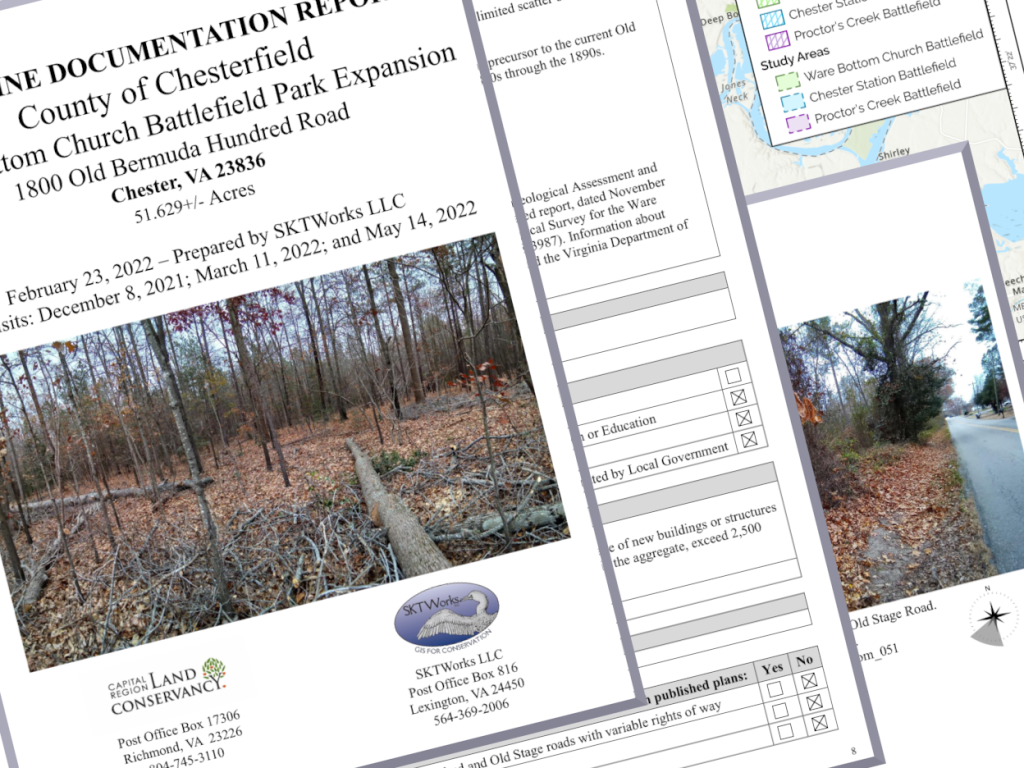
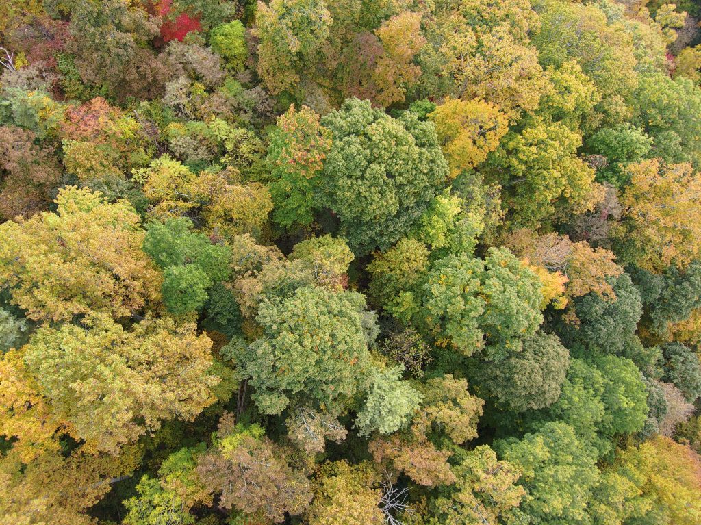
- Ground-validated data collection combined with imagery from drones for detailed, easily accessible site documentation
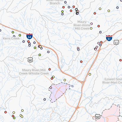
- Custom cartography by experienced GIS professionals for visually striking display maps